By Inga Manskopf, RBCA President
HALA! City of Seattle Comprehensive Plan! Urban villages and urban centers! So much of our local civic conversation is around land use these days. As we discuss how the use of land in our communities may or may not change within the next twenty years, it’s important to know where we are now.
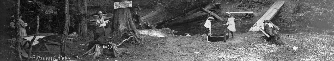
Zoning in Ravenna-Bryant
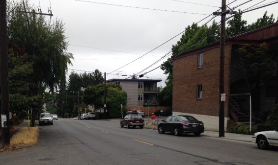
I recently took a look at a zoning map for my immediate neighborhood (surrounding Bryant Elementary, area 62 on the zoning map). As expected, most of the area is zoned Single Family 5000, meaning most homes need to be on 5000 square foot lots. However, land along NE 55th and NE 65th is zoned differently.
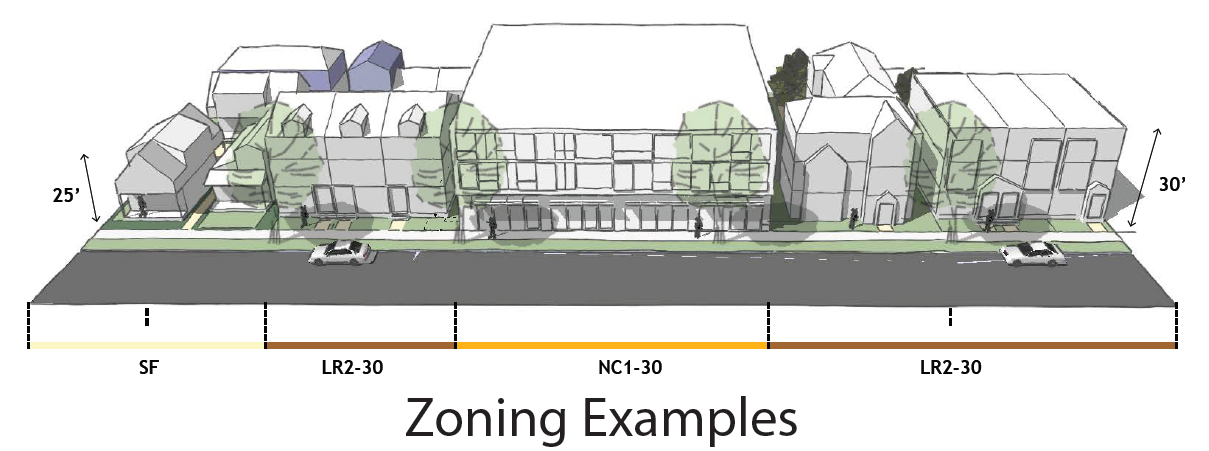
For example, the land on NE 65th Street between 31st and 35th is zoned NC1-30, or Neighborhood Commercial 1, 30 feet high.
What is NC1-30?
According to City Land Use Code, Neighborhood Commercial 1 (NC1) zones have the following function and location criteria.
- Function: To support or encourage a small shopping area that provides primarily convenience retail sales and services to the adjoining residential neighborhood, where the following characteristics can be achieved:
1. A variety of small neighborhood-serving businesses;
2. Continuous storefronts built to the front lot line;
3. An atmosphere attractive to pedestrians;
4. Shoppers walk from store to store.
- Location: A Neighborhood Commercial 1 zone designation is most appropriate on land that is generally characterized by the following conditions:
1. Outside of urban centers and urban villages, or within urban centers or urban villages where isolated or peripheral to the primary business district and adjacent to low-density residential areas;
2. Located on streets with limited capacity, such as collector arterials;
3. No physical edges to buffer the residential areas;
4. Small parcel sizes;
5. Limited transit service.
The 30 in NC1-30 means that building cannot be taller than 30 feet, generally up to three stories.
Next up: I will take a look at NE 55th Street, which has multiple zoning designations.
Do you know how your immediate neighborhood is zoned?
Find out how the land in your part of the neighborhood is zoned. The Department of Planning and Development has maps easily accessed online at: http://www.seattle.gov/dpd/toolsresources/zoningmapbooks/default.htm.
Definitions may be found in the Seattle Land Use Code: http://www.seattle.gov/dpd/codesrules/codes/landuse/default.htm. Definition summaries are located online, too: http://www.seattle.gov/dpd/codesrules/codes/zoning/default.htm.
Thanks, Inga,for the clear explanation and the links.